INITIALIZING
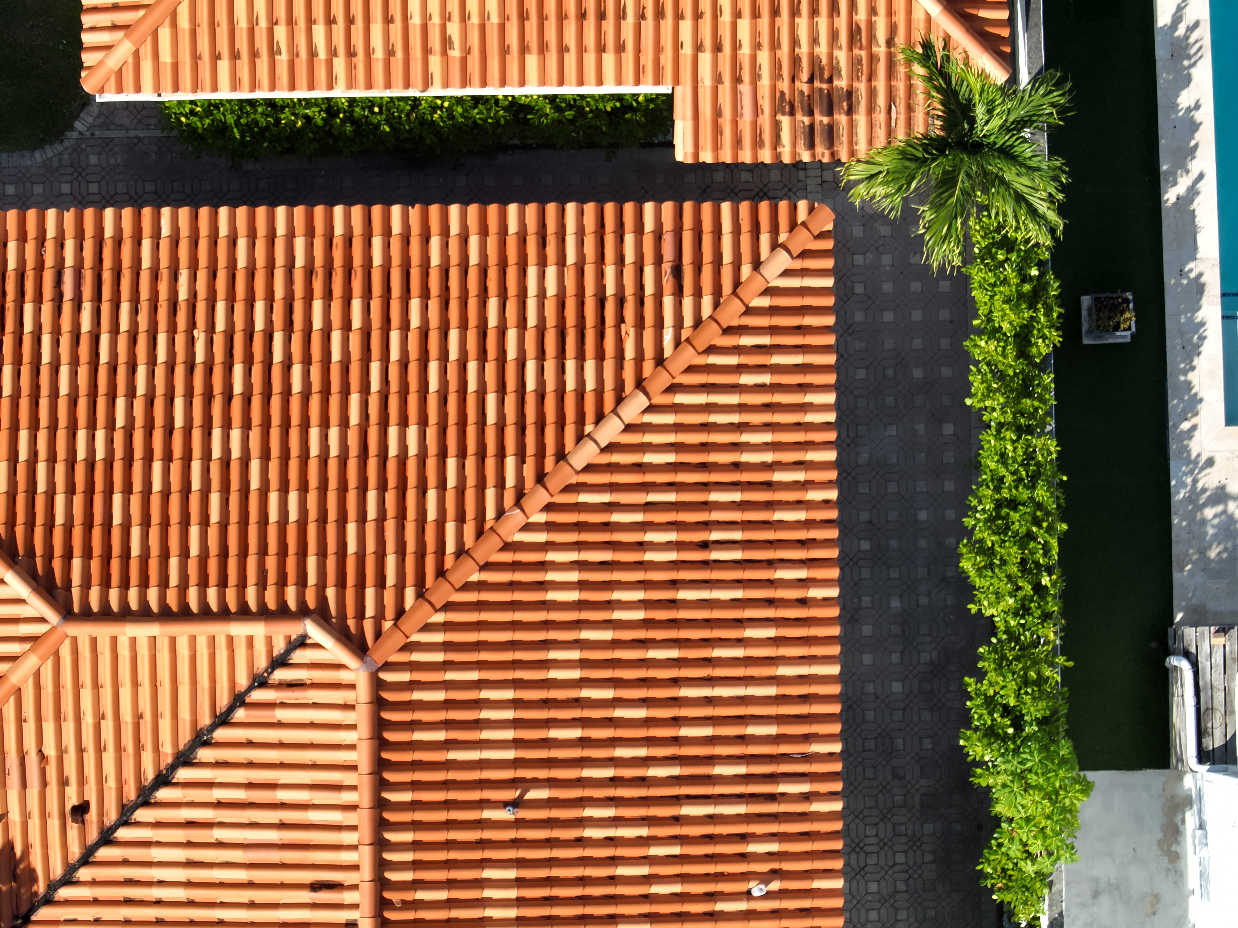
High-Resolution Drone Imagery at Work for You.

Learn More About Our Process.
Advanced Privacy Protection
Our AI-powered system automatically detects and blurs sensitive information before any images are saved or processed, ensuring your privacy is protected from the moment of capture.
Ethical Data Collection
We adhere to strict ethical guidelines in our data collection process. Our imagery focuses on publicly visible areas, similar to satellite imagery, but with enhanced detail to benefit community planning and safety initiatives.
Secure Data Handling
All collected data is encrypted and stored securely, with access strictly limited to authorized personnel for specific, beneficial purposes only.
Transparent Operations
We provide clear communication about when and where we're operating, ensuring community awareness and openness about our activities.
Compliance with Regulations
We adhere to all local, state, and federal regulations regarding drone operations and data privacy, often exceeding required standards to ensure your peace of mind.
Community Benefit Focus
Our imagery is used solely for purposes that directly benefit your community, such as improving infrastructure, enhancing safety, and supporting environmental initiatives.

Privacy Built In.
AerSurveys uses cutting-edge drone technology to capture detailed imagery, enhancing public services and safety while prioritizing personal privacy. Our local, professionally trained pilots operate efficiently and ethically using our specialized app, ensuring community respect and resident safety throughout our data collection process.

